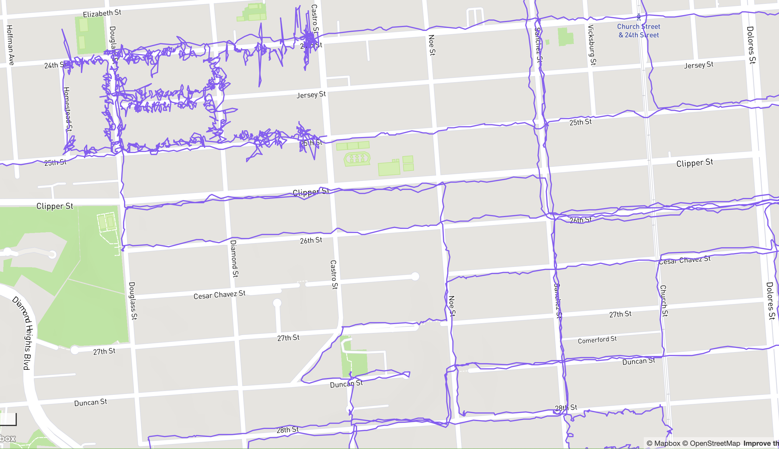
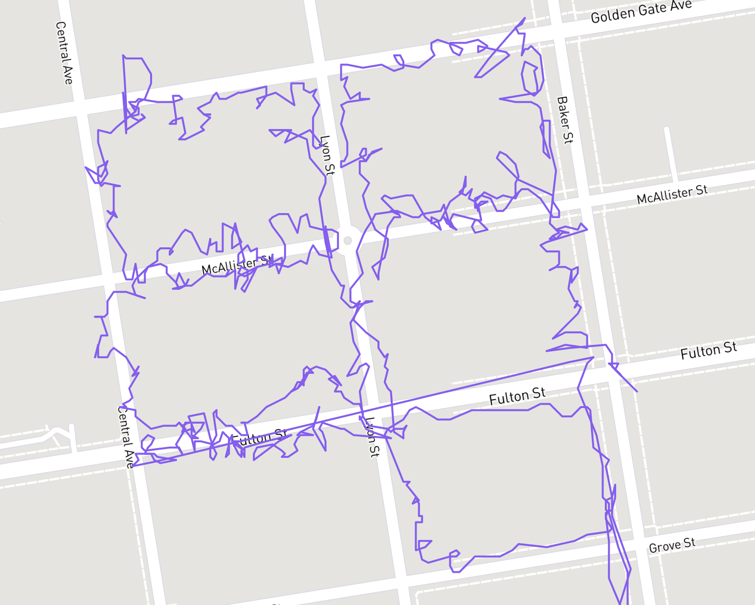
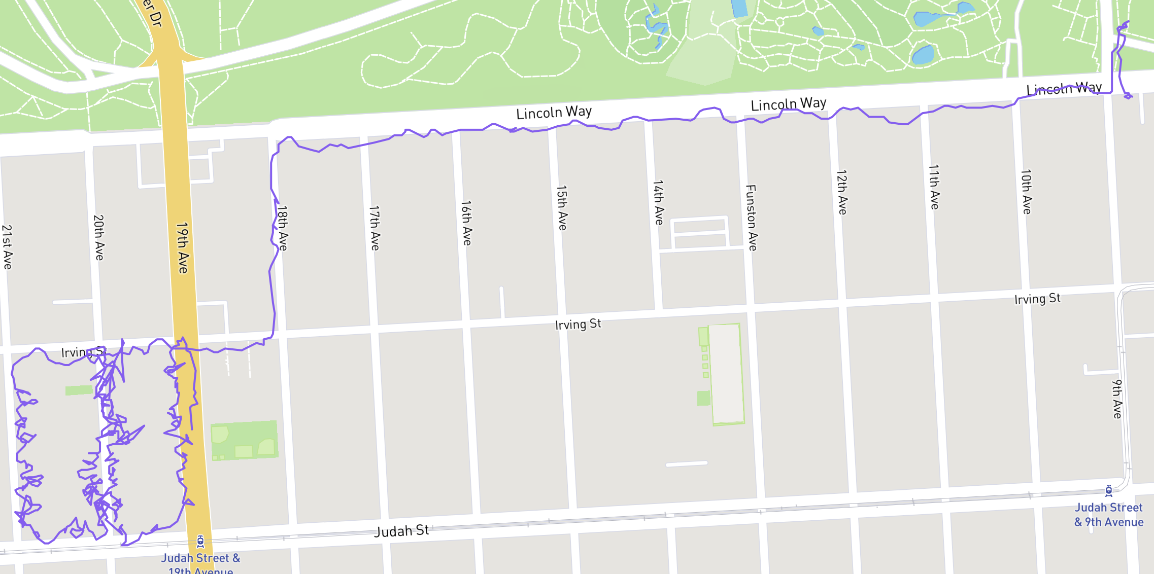
so I walk a few miles every morning looked for an app help me be more intentional about taking streets I’ve never taken before and was susprised when https://citystrides.com/ pulled in… every walk I’ve ever recorded in strava.
it’s neat seeing the stark difference between tight squiggles of political lit drops up and down steps from years ago (usually hanging door cards on every house doorknob on a turf of a few blocks) next to meanderings of normal walks on sidewalks