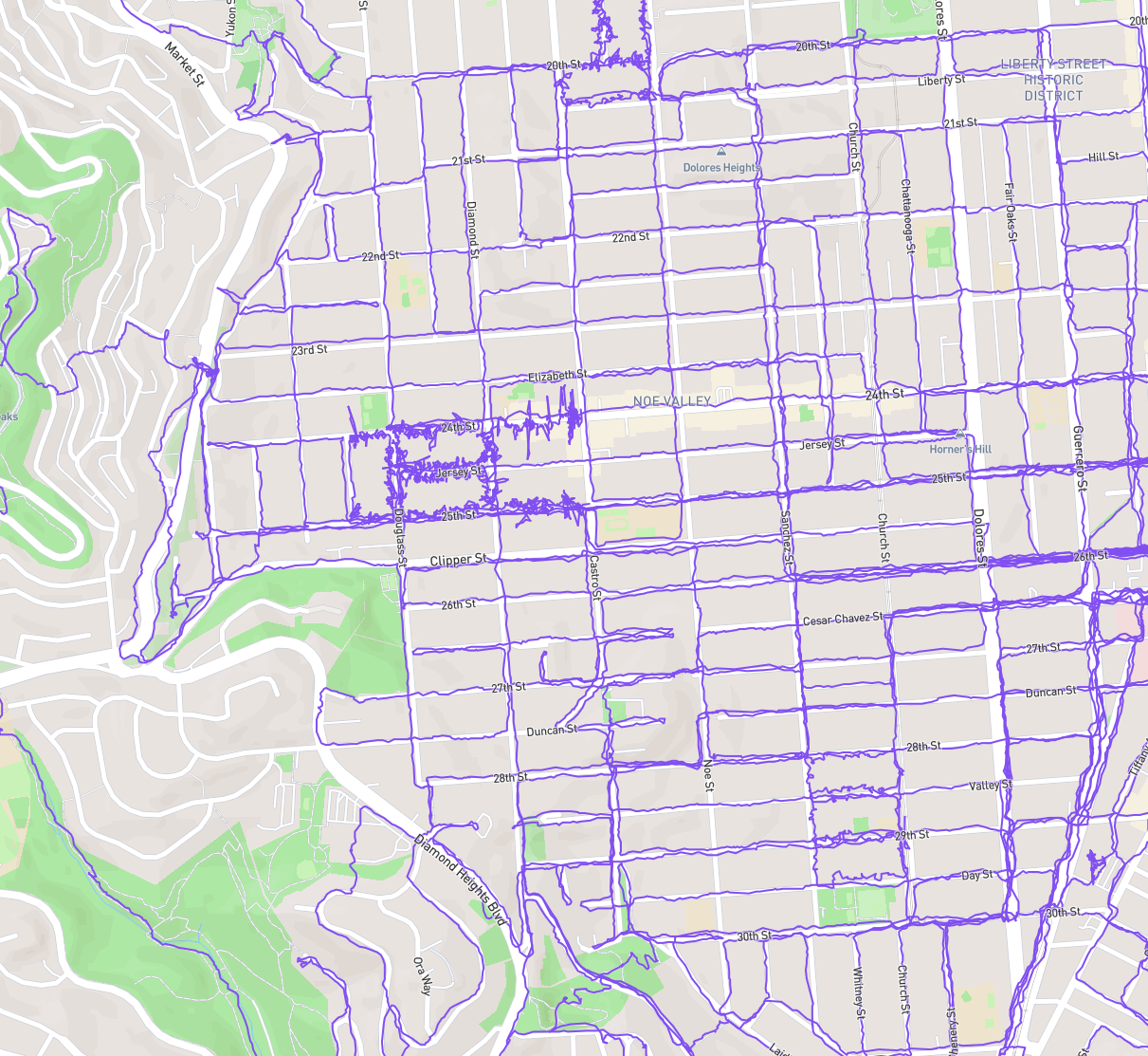
Well this got out of hand, as usual with me.
I wanted to make a goal for myself, so I started adjusting where I went so that I can have walked every street b/w 20th, valencia, 30th, and market (but not market).
The last few walks have been weirdo routes to tag dead end streets and main drags.
I had intended to finish tonight but I was too hungry for the last few blocks of Noe.